Our Google Edu accounts are so much more than just a place to store files and type documents. Google Apps for Education (GAFE) have so many different opportunities and lessons that students can access with their single log in. Log into your Google account and you can access the menu of apps (the 9 squares) at the top right of the google.com page. Once you click on the menu, you will see “maps” as one of the app options.
In maps, you can create your own and share them with others. Students can use typical Google share settings so multiple students can collaborate or they can turn it in to teacher by sharing link in Google Classroom. Imagine having students log each place they learn about on the map. Not only do they drop a pin at the location, they can add paragraphs of information as well as a slide show of pictures of the location. Also, all of these pins can be saved on one map. So by May, they would have an entire map of all the locations that were covered in your class. They can also share this map with you and you can grade them as a formative assessment.
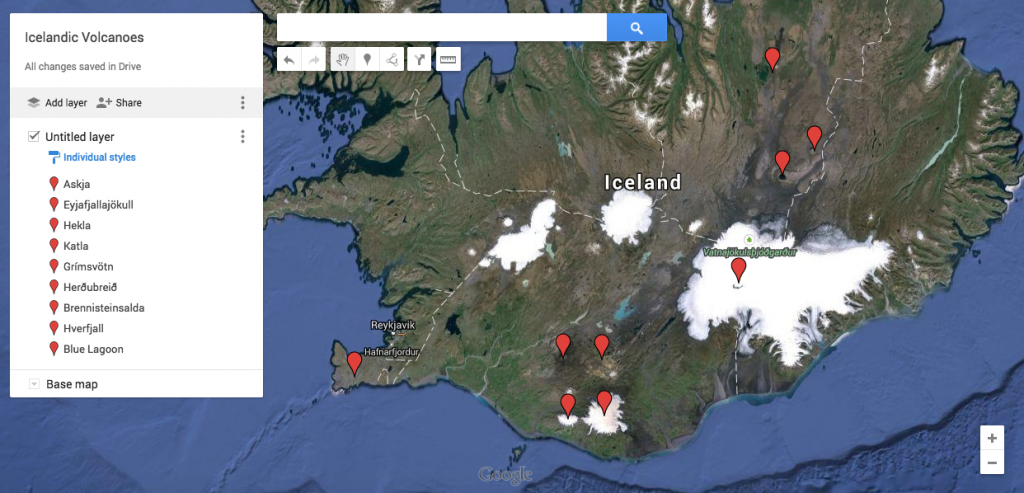
Here is an example of a completed map: http://goo.gl/8A2yqn

Lessons where this could be used in your classroom: In social studies, labeling locations of battles during wars, having students plot the travel of explorers or pioneers (you can actually plot distances between places). Another use as a way to locate and reflect on what happened at concentration camps. Locations in science during plate tectonic/dynamic earth unit. During a current event lesson in science students can track hurricanes (it even has hurricane/tropical storm shaped pins) or making a map of historical weather events like tornadoes or floods. A family and consumer science teacher who was in my PD with social studies teachers said that she was going have her students do this with recipes around the world. World Lit classes can mark where authors were from or where the stories take place. Economics classes can make maps of data/income in difference places. I am sure there are so many other ways to use this in your classroom! I would love to hear your ideas!
Here are step by step instructions on how to build these maps: http://goo.gl/A0VF5y